Beach · Ilha da Barreta (Ilha Deserta) · Algarve
Ilha da Barreta (Ilha Deserta)
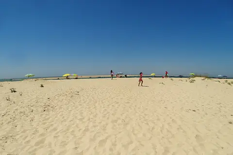
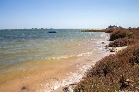
An uninhabited barrier island in the Ria Formosa, with about 11 km of sand across its sea and lagoon beaches.
- Blue Flag 2026
- Excellent water
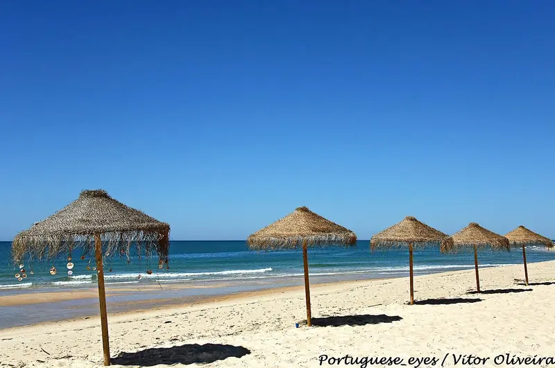
Sea now at Ilha da Barreta (Ilha Deserta)
liveLoading conditions…
Forecast: Open-Meteo (model, indicative). Always check the flag. · Tides and detailed forecast
About the beach
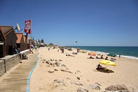
An uninhabited barrier island in the Ria Formosa, with about 11 km of sand across its sea and lagoon beaches. It includes Cabo de Santa Maria, the southernmost point of mainland Portugal. It is reached by boat from Faro (Cais das Portas do Mar), on a scheduled ferry or a fast boat. It has a restaurant, toilets, beach services and lifeguards in the bathing season; currents near the inlet are strong.
- Type
- Sea beach
- Town
- Ilha da Barreta (Ilha Deserta) (Faro)
- Region
- Algarve
- Water quality 2025
- Excellent
- Blue Flag
- Yes, 2026
- Coordinates
- 36.9640, -7.8727
Ilha da Barreta (Ilha Deserta) · Ilha da Barreta (Ilha Deserta)
Sleep close. Arrive early.
Hotels and rentals near Ilha da Barreta (Ilha Deserta), priced for your dates. You pay the same as on the partner site.
- Live prices
- Free cancellation on many options
- Book on the partner site
- Where to stay in the Algarve
- Car hire
- Things to do in Ilha da Barreta (Ilha Deserta)
- Automatic itinerary
We may earn a commission from partners, at no cost to you.
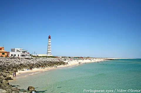
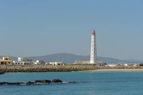
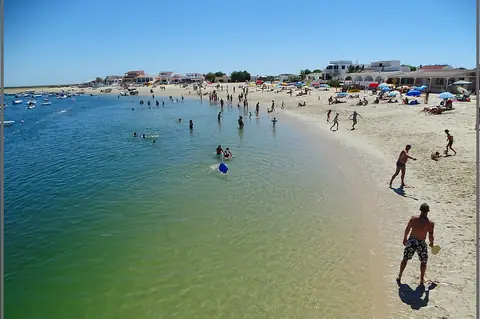
Water quality: official 2025 bathing-season classification (European Environment Agency / APA). Editorial description by Portal Turismo Portugal. Before you go, check lifeguard cover, the flag and access, especially outside the bathing season. Blue Flag 2026 awarded by ABAAE, the Blue Flag operator in Portugal (official list); check on site whether the flag is flying.