Beach · Porto Covo · Alentejo
Praia da Ilha do Pessegueiro
A stretch of sand about 450 m long near Porto Covo, close to the northern limit of the Southwest Alentejo and Vicentine Coast Natural Park, facing Pessegueiro Island.
- Blue Flag 2026
- Excellent water
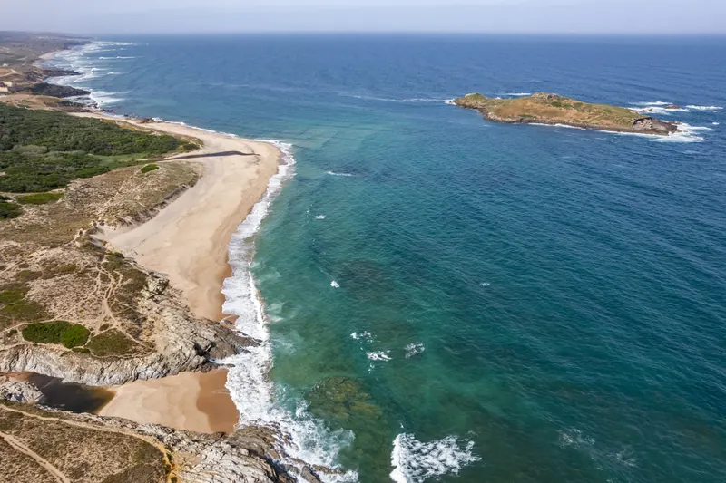
Sea now at Praia da Ilha do Pessegueiro
liveLoading conditions…
Forecast: Open-Meteo (model, indicative). Always check the flag. · Tides and detailed forecast
About the beach
A stretch of sand about 450 m long near Porto Covo, close to the northern limit of the Southwest Alentejo and Vicentine Coast Natural Park, facing Pessegueiro Island. The island holds remains of a Roman fish-salting complex, in use from the late 1st to the 5th century, and the ruins of a fort that was never finished; on the mainland opposite stands the Pessegueiro Fort, built after the Restoration of 1640. The Atlantic here is moderately exposed, with a tidal range of about 3.5 m.
- Type
- Sea beach
- Town
- Porto Covo (Sines)
- Region
- Alentejo
- Water quality 2025
- Excellent
- Blue Flag
- Yes, 2026
- Coordinates
- 37.8353, -8.7908
Praia da Ilha do Pessegueiro · Porto Covo
Sleep close. Arrive early.
Hotels and rentals near Praia da Ilha do Pessegueiro, priced for your dates. You pay the same as on the partner site.
- Live prices
- Free cancellation on many options
- Book on the partner site
We may earn a commission from partners, at no cost to you.
Beaches nearby
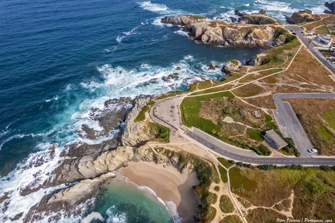 1.7 kmPraia dos BuizinhosPorto Covo · Alentejo
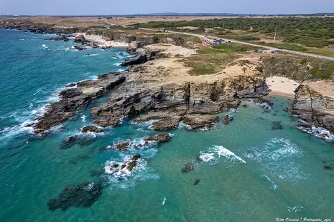 2.4 kmPraia de Porto CovoPorto Covo · Alentejo
- 2.8 kmPraia do SaltoPorto Covo · Alentejo
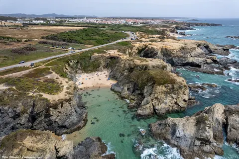 3.2 kmPraia de Porto CovinhoPorto Covo · Alentejo
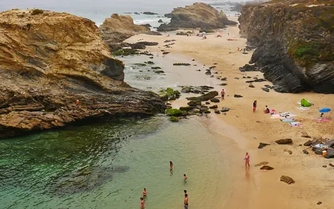 3.6 kmPraia da SamoqueiraPorto Covo · Alentejo
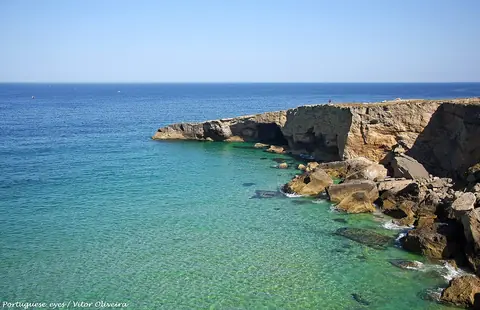 5.8 kmPraia do MalhãoPorto Covo · Alentejo
Water quality: official 2025 bathing-season classification (European Environment Agency / APA). Editorial description by Portal Turismo Portugal. Before you go, check lifeguard cover, the flag and access, especially outside the bathing season. Blue Flag 2026 awarded by ABAAE, the Blue Flag operator in Portugal (official list); check on site whether the flag is flying.